
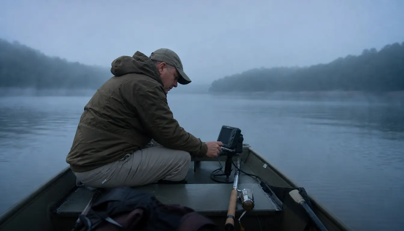
You can spend a whole Saturday idling in circles watching a 3.5-inch screen and come home with nothing but a sore neck and a burned tank of gas. I did that more than once when I first put a Garmin Striker 4 on the bow of my boat. The unit works fine. The problem was that I was asking it to do the finding. Sonar does not find cover for you. It confirms what you already suspect and then shows you the shape of it once you are over the top.
Once I got the order of operations straight, that little Garmin started doing real work for me. It got me back onto brush piles I had built myself and lost track of, and it showed me the lip of a ledge on Wilson where I had been fishing the wrong ten feet of water for years. The method below is what I settled into. Nothing in it requires a bigger screen or a better transducer. It requires patience on the front end and a waypoint button you actually press.
The unit that does the confirming, not the finding
The Garmin Striker 4 is a 3.5-inch fish finder with GPS, a waypoint map, and ClearVu scanning sonar, packaged with a transducer for a hair over eight ounces of hardware. It will hold up its end of this method as long as you hold up yours.
Amazon Check today's price on Amazon →Step 1: Mark your cover before you ever launch the boat
The single biggest waste of time in sonar fishing is scanning water you have no reason to scan. Brush piles and ledges are not scattered evenly across a lake. They are where somebody sank something, where the bank caved, where a creek channel pinches against a point, or where the contour lines stack up fast. Find those places before you put the boat in.
I do this on the couch with a paper lake map and a legal pad. I look for a creek channel swinging past a point, anything that reads as a roadbed or an old fence line on the map legend, and any cove arm where the bank has obviously slumped. Those get circled. On Wilson and Pickwick I already know which community brush piles exist because I helped sink some of them, and I know the docks where the owner has dropped Christmas trees for years. That is a list, not a search pattern.
I also write down the water depth where I expect to find the top of each piece of cover. A brush pile in twelve feet of water with the tops at eight is a different target than one in twenty-five feet. Getting that guess in my head before I idle means I already know whether the bottom reading on the screen makes sense or whether something is off.
One more thing on the map work. Pick the order you will hit them in. If your circled spots are scattered from one end of the lake to the other, you will burn half your morning running and none of it looking. I group mine by creek arm and work one arm at a time, even if the third spot in the arm looks weaker than something across the lake. Fuel and daylight are the two things you cannot get back.
Step 2: Set the depth range manually and turn off auto
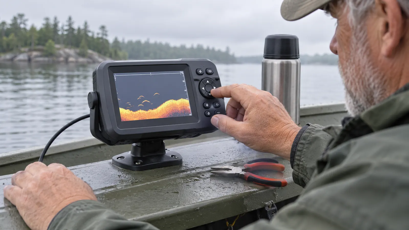
The Garmin Striker 4 offers auto range, and for general running around it is fine. For finding structure it will cost you fish. Auto range keeps rescaling the display as the bottom moves, so a subtle rise on a flat can vanish, and a brush pile that comes up four feet off the bottom gets compressed into a few pixels that look like noise.
I lock the range to whatever my map work predicted, plus a few feet of padding. If I expect to be over fourteen feet of water, I set the top of the range near the surface and the bottom near eighteen. Now the display is not moving under me, and anything that changes shape is a real change in the water, not a rescale. My eyes can compare one pass to the next because the picture is stable.
Leave the fish symbols off while you are learning. The little fish icons are a guess dressed up as a fact. A raw arch tells you size, depth, and whether the fish is sitting in the cover or suspended off to the side. I would rather read an arch and be wrong than trust an icon and be lazy.
Bright sun is the enemy of that small screen, and the Striker 4 is no exception. I angled mine so it sits in the shadow of my own body when I am on the bow, and I do not fight it with sunglasses and hope. If I cannot read the bottom line clearly at a glance, I am not going to catch the change I am looking for, because the change is a couple of pixels either way.
Step 3: Make the first pass long, slow, and boring
Structure hunting is done at idle speed, not on plane and not at a fast troll. I run a straight line past the target at two or three miles per hour and hold the course. On a small boat that means the trolling motor on a low setting and one hand on the tiller to correct. If I am wandering, the screen is showing me a wandering path and the picture is useless.
The first pass is for the shape of the bottom. A ledge shows up as a line where the depth reading starts climbing or falling fast, and the steepness of that line tells you more than the depth number does. A brush pile shows as a lump, a small hard rise, or a cluster of returns that sit above the bottom and have a ragged edge. Neither one is obvious if you go blasting past it.
On the first pass I do not touch the waypoint button. I just watch, keep the boat straight, and get a feel for how the contour lays. Marking too early is how you get a waypoint screen full of bad information you will never sort out.
Step 4: Turn around and cross it from the other direction
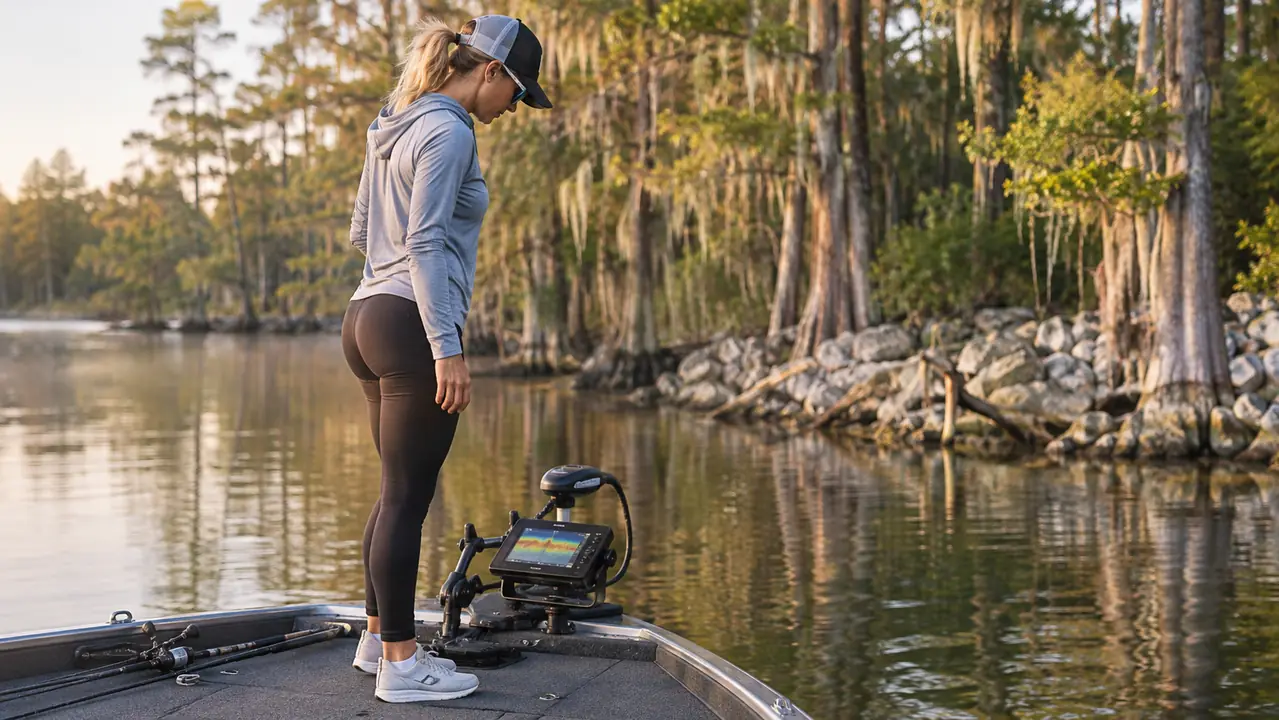
Here is the part that separates a guess from a known piece of cover. Come back and run the same line from the opposite direction. Sonar reads straight down through a cone, and depending on where the object sits in that cone, a brush pile can show up fat, thin, or nearly invisible on a single pass. Two directions confirm it is really there and give you the actual footprint.
The ledge is even more important to cross twice. A steep drop on one pass can be a contour feature or it can be an artifact of how you crossed it. When the same break shows the same angle from both directions, you have found the edge of something, and that edge is where bass hold when they are not up feeding. That is the whole reason to spend the extra ten minutes.
While crossing, I also watch the ClearVu side of the picture. Garmin built that view to read a narrower, higher frequency slice of the water, and it shows the difference between hard cover and soft bottom more clearly than the standard view does. On a brush pile the returns have a bright, hard look to them. A pile of leaves or a soft mud hump does not. That distinction keeps me off the dead stuff.
Sonar does not find cover for you. It confirms what you already suspect and then shows you the shape of it once you are over the top.
Step 5: Mark it, name it, and log the depth
Once I am confident it is a real brush pile or a real ledge, I press the waypoint button while still over it. Then I go back and rename the waypoint with something I will actually understand three weeks later. On the Garmin Striker 4 the waypoint map lets you view, mark and navigate back to those spots, and that is the entire point of the exercise. A screen full of numbered dots is a screen full of nothing.
My naming is ugly and specific. Something like pile 8 ft tops off the second dock, or ledge west end Wilson. I put the depth of the tops in the name when I have room. When I come back a month later and the lake is up or down two feet, that number tells me whether my old waypoint is still sitting on the cover or whether I need to slide up or down the break to find the productive part of it.
I also keep a paper log, cheap notebook, wet pages be damned. Date, water temperature, what the bottom looked like, whether the brush had fish on it or was empty. That log has been worth more to me than any upgrade I could have bought for the bow. The unit tells you what is under you today. The log tells you what it means.
One practical note about the waypoint map: on a 3.5-inch display you are not going to study a big picture. Zoom in close enough to see the last two or three waypoints and steer to them. Trying to read the whole lake on that screen is how people talk themselves into a bigger unit they do not need.
What Else Helps
A transducer that is not aimed right will make all five steps pointless. If the transom mount is tilted so the face is not sitting level with the water when the boat is at rest and at a slow troll, you will get weak returns and a lot of clutter. I check the Garmin transducer every few trips with a straightedge and a wrench. It takes four minutes and it has saved me more than one confusing morning where I was ready to blame the unit.
Learn your lake's cover before you learn your electronics. The anglers who find brush piles reliably are the ones who know where the creek channel runs and which coves get shallow fast. That is map reading and time on the water, not hardware. A cheap map and a notebook will beat a premium sonar unit in the hands of somebody who does not know the water.
Fish the waypoint even when the screen looks empty. Brush piles hold bass that are tucked so tight inside the limbs that no consumer sonar is going to draw them. I have marked a pile, seen nothing, dropped a jig anyway, and caught fish on the second cast. The unit got me to the spot. The spot did the rest.
Carry a spare battery setup and keep the connection clean. A fish finder that dies at nine in the morning because of a corroded terminal is a frustrating way to waste a good weather day, and it is entirely avoidable. I wipe my terminals and check the power cable where it bends at the mount, because that is where it flexes and where it eventually fails.
Who This Method Is For
Bank and kayak anglers can use all of it, with one adjustment. From the bank you cannot make the crossing passes, so you mark what you can see and fish it. From a kayak the slow straight pass is actually easier than it is from a boat, because you are not fighting an outboard and you can hold a line with a paddle stroke or two. The core idea does not change. Predict where the cover should be, then confirm it slowly.
It is also for the angler who has been circling the same point for two years without marking anything. If you have a unit and no waypoints you care about, the problem is almost never the unit. It is that no one ever told you the order to do this in, and auto range was quietly erasing the detail you were looking for.
Stop scanning water you have no reason to scan
A predicted target, a locked depth range, two crossing passes, and a named waypoint. The Garmin Striker 4 handles the confirm step, and it does it on a 3.5-inch screen with a transducer in the box and a one-year limited warranty behind it.
Amazon Check today's price on Amazon →